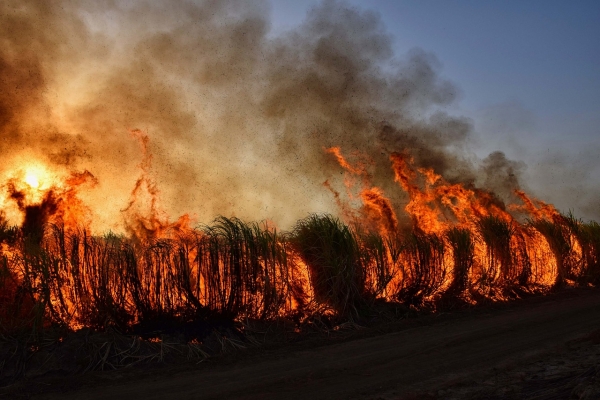
The 2023 blaze in Lahaina, Hawaii, which claimed more than 100 lives and burned 6,500 acres of land across Maui, is a tragic example of how rapid wildfire spread can make effective response efforts impossible, resulting in the loss of life and property.
What if technology could help people detect wildfires earlier? The solution could already be in your pocket: a mobile phone.
USC computer science researchers have developed a new crowdsourcing system that dramatically slashes wildfire mapping time from hours to seconds using a network of low-cost mobile phones mounted on properties in high fire threat areas. In computer simulations, the system, FireLoc, detected blazes igniting up to 3,000 feet away and successfully mapped wilderness fires to within 180 feet of their origin.
Read more at: University of South California
Photo Credit: photo-graphe
Health Top Stories Sci/Tech Climate Pollution

