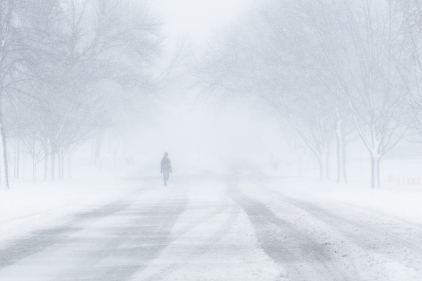
In the first week of January 2025, a potent winter storm delivered snow, ice, and freezing temperatures to the central and eastern United States. An initial burst of cold air arrived in the north-central U.S. at the start of the month and then spread south and east. By January 6, frigid air had spread across most of the country.
This map shows the extent of the cold snap on January 6. The map was derived from the GEOS (Goddard Earth Observing System) model and represents air temperatures at 2 meters (about 6.5 feet) above the ground. The darkest blue areas are where the model indicates temperatures reached as low as minus 22 degrees Fahrenheit (minus 30 degrees Celsius). White areas are where temperatures were around 32°F (0°C).
In Wichita, Kansas, the National Weather Service reported daytime highs in the mid-teens Fahrenheit on January 6. Farther north in Grand Forks, North Dakota, the temperature that day barely reached above the single digits. And in northern Texas and the Mid-Atlantic, temperatures were 5°F to 20°F below average, according to news reports.
Read more at NASA Earth Observatory
Photo Credit: ryanminion via Pixabay
Sci/Tech Climate Top Stories
