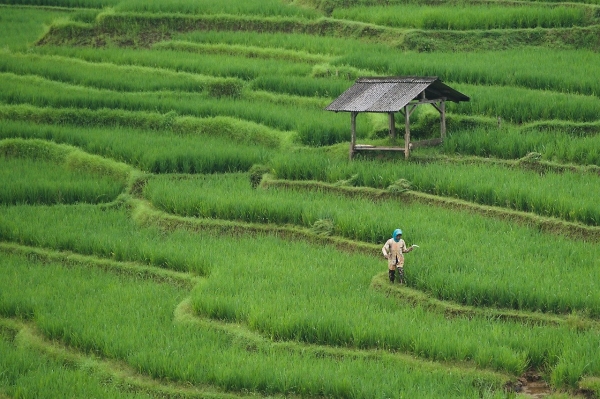
A new North Carolina State University study combines satellite imagery with machine learning technology to help model rice crop productivity faster and more accurately. The tool could help decision-makers around the world better assess how and where to plant rice, which is the primary source of energy for more than half of the world’s population.
The study focused on Bangladesh, which is the world’s third-largest producer of rice. The country is also the sixth most-vulnerable country in the world to climate change, as the destruction of rice crops by flooding has led to food insecurity.
Traditional crop monitoring techniques have not kept up with the pace of climate change, said Varun Tiwari, a doctoral student at NC State and lead author of the study.
Photo Credit: ignartonosbg via Pixabay
Sustainability Sci/Tech Top Stories Agriculture

