Scattered across the United States are remnants from almost 170 years of commercial drilling: hundreds of thousands of forgotten oil and gas wells. These undocumented orphaned wells (UOWs) are not listed in formal records, and they have no known (or financially solvent) operators. They are often out of sight and out of mind – a hazardous combination.
If the wells weren’t properly plugged, they can potentially leak oil and chemicals into nearby water sources or send toxic substances like benzene and hydrogen sulfide into the air. They can also contribute to climate change by emitting the greenhouse gas methane, which is about 28 times as potent as carbon dioxide at trapping heat in our atmosphere on a hundred-year timescale (with even higher global warming potential over shorter periods).
To find UOWs and measure methane emissions in the field, researchers are using modern tools, including drones, laser imaging, and suites of sensors. But the contiguous United States covers more than 3 million square miles. To better predict where the undocumented wells might be, researchers first pair the new with the old: modern artificial intelligence (AI) and historical topographic maps.
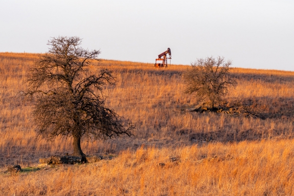
An oil well in Oklahoma. (Photo Credit: Jeremy Snyder/Berkeley Lab)
Sci/Tech Top Stories Pollution

