The Delta, a regional powerhouse for Arkansas agriculture built by river flows, is showing a trend of increasing droughts.
Using satellite imagery, Arkansas Agricultural Experiment Station researchers comprehensively analyzed drought dynamics over five years to reveal this and other short and long-term climate trends in Arkansas.
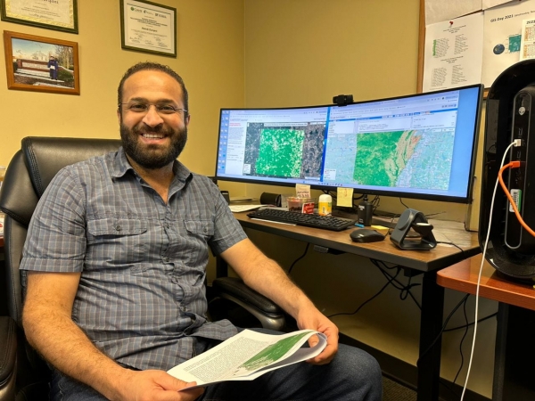
Hamdi Zurqani, an assistant professor of geospatial science for the College of Forestry, Agriculture and Natural Resources and the Arkansas Forest Resources Center at the University of Arkansas at Monticello, developed the Arkansas Vegetation Drought Explorer v.2.0 as part of a drought mapping study. The user-friendly web app gives users access to maps showing drought levels in Arkansas by county, year and month.
Read more at: University of Arkansas - System Division of Agriculture
Hamdi Zurqani, an assistant professor of geospatial science, developed the Arkansas Vegetation Drought Explorer v.2.0 as part of a drought mapping study looking at short and long-term trends in Arkansas. (Photo Creidt: U of A System Division of Agriculture)
Top Stories Sci/Tech Climate

